
|
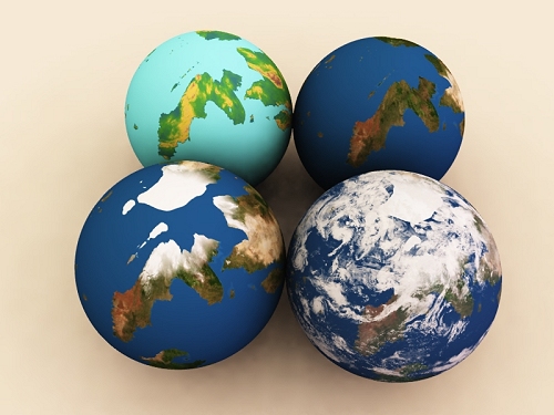
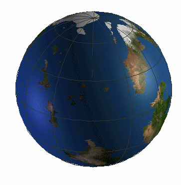
These artificial views illustrate how planetary maps are made. The globe on the left side in the back shows an elevation map, meaning that the colours represent height but they have nothing to do with how the planet looks from space. The IFB operates some cheap all-purpose satellites, and these have been used to obtain images of the planet. Obviously, that results in something like the cloud-littered view on the right side in the front: it is pleasing but the clouds obstruct the view. But if you wait long enough, you will have enough images to see every bit of the planet without clouds and in bright sunlight. The other two globes represents two cloudless views. One has been adapted to show ice and snow during the Northern winter, and the other to show the same areas without ice or snow. |
|
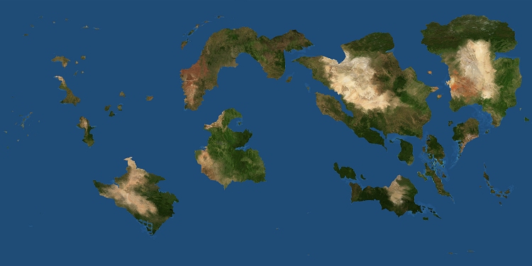
So here is the texture. Note that deserts tend to occur in particular belts of latitude. The reason for that has to do with the way the atmosphere is divided into belts that carry and drop moisture in some places, but not at all in others; hence the deserts. Who wishes to know more should search for 'Hadley cells'. |
|
|
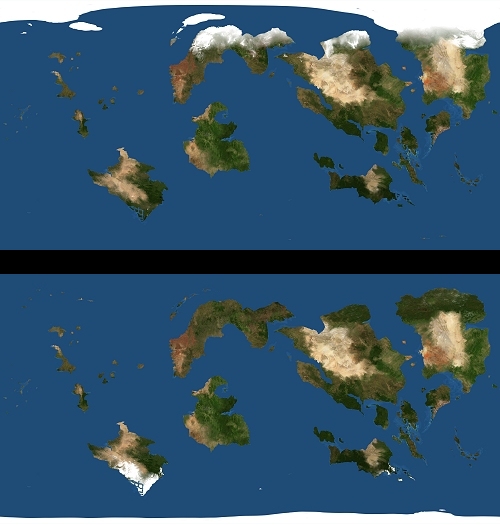
To give you an idea of Furaha's polar regions two separate maps were made for the Northern and for the Southern winter. On Terra, the North pole is located in a sea almost entirely enclosed by land, and the South pole is located on a continent. Neither situation applies on Furaha, where both poles are situated in open ocean. This, together with less pronounced seasonal extremes due to a limited degree of axial tilt, mean that the ice caps are not as imposing as they are on Earth. In fact, they disappear completely in summer. |
|
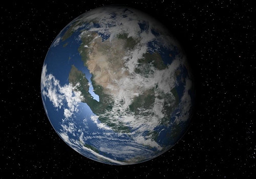
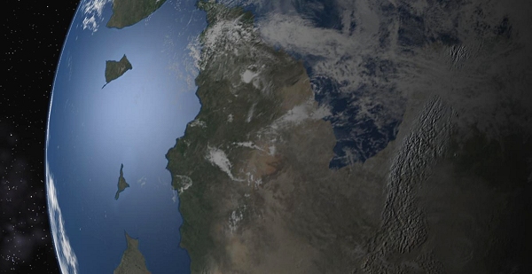
Finally, space. There is no sensation like that of seeing your planet in space, lit by the sun, bright in infinitesimal detail. |
|
|
As an example, here is a view of the how the light of the sun diminishes, leaving only the tops of the mountains lit, while the valleys below are in the dark. Try to find out on which area of the globe this is... |
|
Rotating globes is something you cannot have enough of. This one shows the Northern hemisphere in its winter garb, as explained above. The colours are a bit lighter than they are in reality. |